Albuquerque International Sunport Airport (ABQ)
Orientation and Maps
(Albuquerque, New Mexico (NM), USA)
New Mexico's city of Albuquerque is famed for its Hispanic and Native American Heritage and is the biggest city for miles around. Situated approximately 1,615 meters / 5,600 feet above sea level, Albuquerque is surrounded by many enormous mountains, which provide a scenic backdrop.
On the southeastern side of the downtown district, Albuquerque International Sunport Airport (ABQ) is serviced by the majority of US airlines, although Southwest Airlines has a particularly notable presence. The airport is linked with nearby downtown Albuquerque by the SunTran Route 50, while Santa Fe stands approximately 65 miles / 40 km to the north.
Albuquerque International Sunport Airport (ABQ) Maps: Important City Districts
With a population of approximately 480,000 inhabitants, the city of Albuquerque is bounded by the Paseo del Norte Drive on its northern side, and Central Avenue on its southern side. To the east and west you will find the Tramway Boulevard and the Rio Grande Boulevard respectively. The Albuquerque Convention and Visitors Bureau stands along the Martin Luther King Junior Avenue, while the Old Town Information Centre is located on the Dom Luis Plaza.
Albuquerque's main thoroughfare, Central Avenue is often referred to as the old 'Route 66' and runs past many points of interest, such as the University of New Mexico (UNM), and also the historic Old Town area, which dates back to the beginning of the 18th century. The city itself is split into four main regions, which are known as Northeast, Northwest, Southeast and Southwest. Albuquerque's outlying suburban districts spread into the surrounding desert, with plenty of pueblos located nearby.
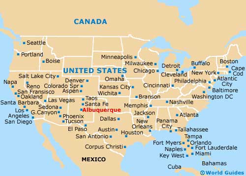
USA Map
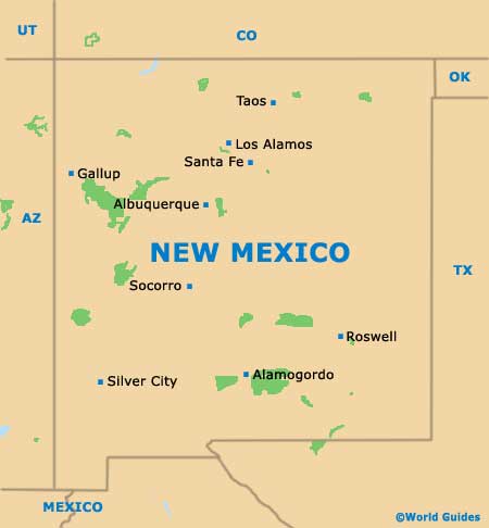
New Mexico Map
Albuquerque Map

